
Photogrammetry
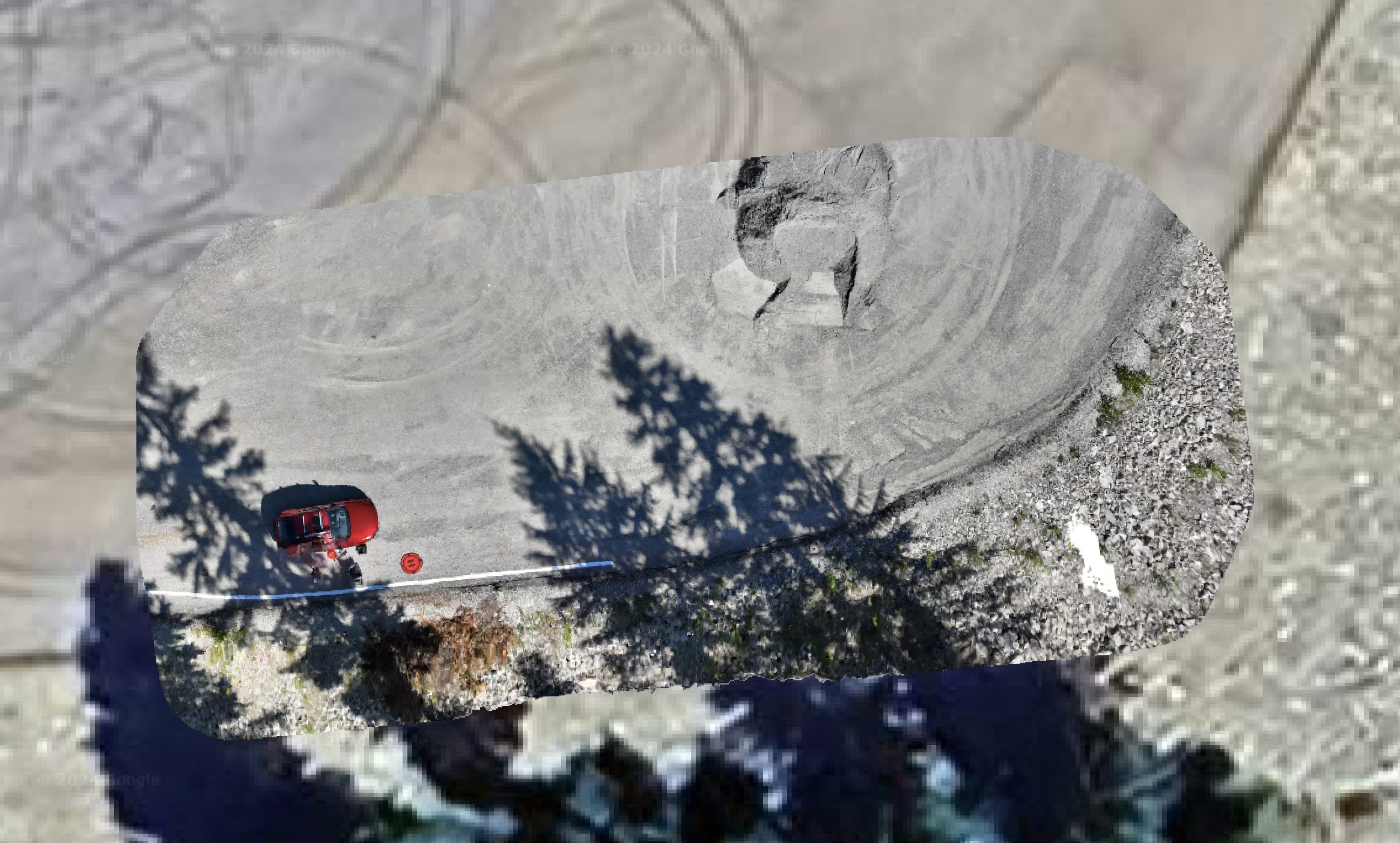
Photogrammetry is a technique that involves using photographs to create accurate 2D and 3D models and measurements of objects or environments. It’s widely used in fields like construction, engineering, archaeology, and more. By capturing images from different angles, photogrammetry software can stitch these images together to generate a detailed 2D/3D representation.

Key Aspects of Photogrammetry:
Image Capture: High-resolution images are taken from multiple angles, usually with a drone or other camera equipment. The more images captured, the more detailed and accurate the final model will be.
Processing: Specialized software analyzes the images, identifying common points across different photos. It then triangulates these points to build a 3D model of the subject.
Applications:
Construction: Photogrammetry is used for site surveys, progress monitoring, and creating detailed models of buildings or terrain.
Mapping: It helps in creating accurate topographic maps, including contours and elevations, which are essential for planning and development.
Archaeology: Photogrammetry allows archaeologists to document and study sites and artifacts in great detail without physical contact.
Real Estate: Agents and developers use photogrammetry to create immersive 3D tours of properties, giving potential buyers a detailed view.
Advantages:
Accuracy: Photogrammetry provides precise measurements, which are crucial in fields like construction and engineering.
Cost-Efficiency: It reduces the need for manual surveying, which can be time-consuming and expensive.
Safety: In hazardous environments, photogrammetry allows for remote surveying, reducing the risk to personnel.