
Stockpile scanning
Stockpile scanning with drones is a modern method used in industries like construction, mining, and agriculture to accurately measure and manage the volume of material stockpiles. Drones equipped with specialized cameras and sensors capture high-resolution images and data, which are then processed to create detailed 3D models and volume calculations of stockpiles. Here’s an overview of how it works and its benefits:

How Stockpile Scanning with Drones Works:
Planning the Flight:
Before scanning, the drone operator plans the flight path over the stockpile. This involves setting waypoints and ensuring the drone covers the entire area to capture all necessary data.
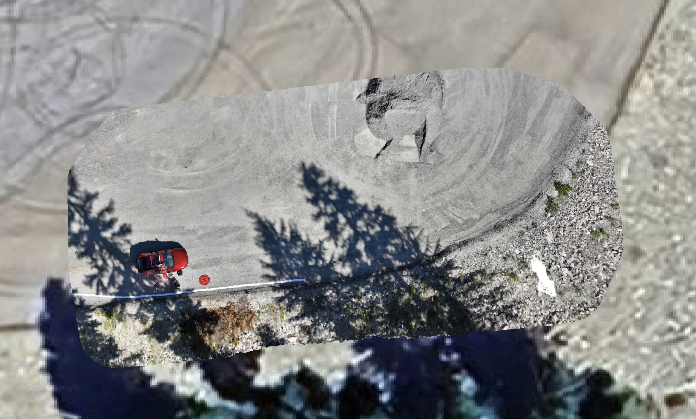
Data Capture:
The drone flies over the stockpile, capturing high-resolution images or using LiDAR (Light Detection and Ranging) to gather data. These images are taken from multiple angles to ensure complete coverage and accuracy.
Some drones are equipped with GPS and RTK (Real-Time Kinematic) systems to enhance positional accuracy.
Data Processing:
The collected data is processed using photogrammetry software or specialized 3D modeling software. This software stitches the images together to create a detailed 3D model of the stockpile.
The software then calculates the volume of the stockpile based on the 3D model. This process is much faster and more accurate than traditional methods like manual surveying.
Analysis and Reporting:
The processed data can be analyzed to determine the exact volume of material in the stockpile. Reports can be generated to provide detailed information on material quantities, which is essential for inventory management and planning.
Benefits of Using Drones for Stockpile Scanning:
Accuracy: Drones provide highly accurate measurements of stockpile volumes, reducing errors that can occur with manual methods.
Efficiency: Drone surveys are much faster than traditional methods, allowing for frequent and rapid assessments without disrupting operations.
Cost-Effective: By reducing the need for manual labor and heavy equipment, drone scanning lowers the overall cost of stockpile management.
Safety: Using drones eliminates the need for workers to climb over or around stockpiles, reducing the risk of accidents and injuries.
Real-Time Data: Drones can provide real-time data, allowing for quick decision-making and better management of resources.
Repeatability: Regular drone scans can be scheduled to track changes in stockpile volumes over time, providing valuable insights into material usage and replenishment needs.
Applications of Stockpile Scanning:
Mining: Drones are used to measure the volume of mined materials, helping in the management of extracted resources and ensuring compliance with production targets.
Construction: On construction sites, drones help monitor the volume of raw materials like sand, gravel, and aggregate, ensuring that supply meets demand.
Agriculture: Farmers use drone scanning to measure piles of crops or fertilizer, optimizing storage and distribution.
Logistics and Warehousing: Drones help in managing bulk materials stored in open spaces or warehouses, ensuring accurate inventory levels.
Why Adopt Drone-Based Stockpile Scanning?
Drone-based stockpile scanning offers a more efficient, accurate, and safer alternative to traditional methods of volume measurement. By incorporating drone technology into stockpile management, businesses can gain better control over their resources, improve operational efficiency, and reduce costs.
If you’re interested in implementing drone-based stockpile scanning in your operations, we can discuss the specific equipment, software, and techniques you might need.